Knightwood Land Surveying Software
Knightwood Land Surveying Software Utilities - a suite of MS Windows-based programs aimed at surveyors, engineers and archaeologists to simplify the processing of field observations and data. The website's aim is to make available a number of free land surveying software utilities. Some titles are totally free, others are intended for evaluation purposes so if you intend to continue to use the program please purchase a license for it. You will be supporting further development and activating the software will make extra features in the program available.
To download the software and purchase licenses please contact me for further details.
Currently available:
 |
Knightwood LevelBook v1.0 Automatically calculate Rise/Fall and Reduced Levels from observations. Misclosure and adjusted Reduced Levels are also calculated. Available in Free (Evaluation) and Pro versions. The Pro version displays a graphical representation of the level run and allows customisation of the print-outs. |
 |
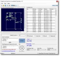
Knightwood Area From Coordinates Calculator v1.1 Calculate an area and perimeter of a polygon defined by entering the coordinates of a series of points on its boundary. Points can be entered as a series of coordinates or as an initial pair of coordinates and then a series of bearings and distances, or a combination of each. Results can be shown in various metric and imperial units. Available in Free (Evaluation) and Pro versions. The Pro version allows the plot to be exported in DXF format. |
 |
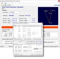
Knightwood Three Point Resection Calculator v1.0 Calculate a position (eastings, northings) by observing angles at that point to three points of known coordinates. No distance measurement required. Available in Free (Evaluation) and Pro versions. The Pro version allows angles to be entered as rounds of observations. |
